


In my DRF project, I have a model structured like this
class ServiceLocation(models.Model):
    '''
    Represents a location where an internet service is offered
    '''
    SERVICE_TYPES = [
        ("wifi", 'wifi'),
        ("fibre", "fibre"),
        ("p2p/ptmp", "p2p/ptmp")
    ]

    id = models.UUIDField(primary_key=True, default=uuid.uuid4,
                          editable=False, null=False, blank=False)
    description = models.TextField()


    # Location
    address = models.CharField(max_length=150, null=False, blank=False)
    latitude = models.DecimalField(max_digits=18, decimal_places=15)
    longitude = models.DecimalField(max_digits=18, decimal_places=15)

    # Service
    service = models.CharField(
        max_length=10, choices=SERVICE_TYPES, null=False, blank=False)
    speed = models.IntegerField()

    def __str__(self):
        return f"{self.service} by {self.operator}"
and I’m trying to filter this instances of this model with their relative proximity to given coordinate.
My view is structured like this
class CloseServiceLocations(View):
    def get(self, request):
        lat = request.GET.get('lat', 6.748134)
        lng = request.GET.get('lng', 3.633301)
        distance = request.GET.get('distance', 10)  # Default distance to 10 if not provided

        # if lat is None or lng is None:
        #     # return JsonResponse({'error': 'Latitude and Longitude are required parameters.'}, status=400)


        try:
            lat = float(lat)
            lng = float(lng)
            distance = float(distance)
        except ValueError:
            return JsonResponse({'error': 'Invalid latitude, longitude, or distance provided.'}, status=400)

        # Create a Point object representing the provided latitude and longitude
        user_location = Point(lng, lat, srid=4326)


        # Calculate the distance in meters (Django's Distance function uses meters)
        distance_in_meters = distance * 1000
        close_service_locations = ServiceLocation.objects.annotate(
            # Convert longitude and latitude fields to floats
            longitude_float=Cast('longitude', FloatField()),
            latitude_float=Cast('latitude', FloatField())
        ).annotate(
            # Create Point object using converted longitude and latitude
            location=Point(F('longitude_float'), F('latitude_float'), srid=4326)
        ).annotate(
            # Calculate distance
            distance=Distance('location', user_location)
        ).filter(distance__lte=distance_in_meters)
    # Serialize the queryset to JSON
        serialized_data = [{'id': location.id,
                            'description': location.description,
                            'operator': location.operator.name,
                            'address': location.address,
                            'latitude': location.latitude,
                            'longitude': location.longitude,
                            'service': location.service,
                            'speed': location.speed} for location in close_service_locations]

        return JsonResponse(serialized_data, safe=False)

    def post(self, request):
        return JsonResponse({'error': 'Method not allowed'}, status=405)
where i try to annotate a new attribute "location" so i can take advantage of from django.contrib.gis.db.models.functions‘s Distance method to calculate the distance instead of looping through and calculating the Haversine distance manually which was my initial approach.
when i run this, i get Server Error message which I’m almost sure is not from my views.
In an attempt to fix this, I broke my views down with into sections and added print statements to see what part was causing it to break
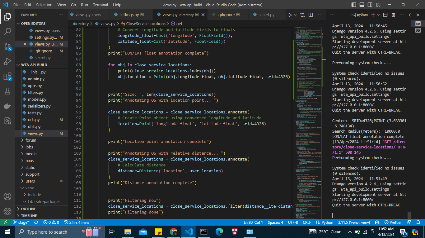
        print("Annotating QS with lon/lat float... ")
        close_service_locations = ServiceLocation.objects.annotate(
            # Convert longitude and latitude fields to floats
            longitude_float=Cast('longitude', FloatField()),
            latitude_float=Cast('latitude', FloatField())
        )
        print("LON/LAT float annotation complete")

        print("Annotating QS with location point... ")
        print("Size: ", len(close_service_locations))


        close_service_locations = close_service_locations.annotate(
            # Create Point object using converted longitude and latitude
            location=Point('longitude_float', 'latitude_float', srid=4326)
        )
        print("Location point annotation complete")

        print("Annotating QS with relative distance... ")
        close_service_locations = close_service_locations.annotate(
            # Calculate distance
            distance=Distance('location', user_location)
        )
        print("Distance annotation complete")
I noticed the print("Annotating QS with lon/lat float... ") block runs successfully in no time but it breaks in the print("Annotating QS with location point... ") block where i try to annotate the QS with location attribute
At some point, I got an error that says "Invalid parameters given for Point initialization." which made me add the print("Annotating QS with lon/lat float... ") block to force all Decimalfiled objects into floats.
I also tried looping through the close_service_locations manually to see if I have a service location with an invalid latitude or longitude with this
for i in range(len(close_service_locations)):
            print(i)
            location=Point(close_service_locations[i].longitude_float, close_service_locations[i].latitude_float, srid=4326)
Surprisingly, this ran successfully.
But I still dont know how to get my view to work successfully past that point.
This is the error i keep getting
Annotating QS with lon/lat float...
LON/LAT float annotation complete
Annotating QS with location point...

[13/Apr/2024 04:49:30] "GET /directory/close-service-locations/ HTTP/1.1" 500 145
No Django Error page on the browser detailing the cause, just a big Server Error
I also tried looping through the service-locations manually and adding the location attribute and printing the index maybe I could get an hint of what is breaking my code or if there is service location whose longitude and altitude pair couldn’t be converted to a Point object but I still got the same error
2
Answers
I devised a different approach based on how precise the decimal digits on the coordinates of google maps are and it worked.
In your following code you are providing strings(
longitude_floatlatitude_float andlatitude_float) toPointclass.you might be thinking that you are creating those value above but that’s in line
longitude_float=Cast('longitude', FloatField()),but in following annotation it is considering as just string.you can trying following to make it work.
EDIT:
An Another way to do this is to use Python instead of Django.